


Wave monitoring
 About wave monitoring
Learn why and how we monitor wave heights and directions around Queensland.

 How to use the site
Learn how to read the wave monitoring graphs to understand how the data explains the wave conditions for the previous three days.
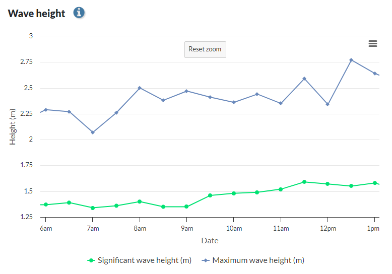
 How to read the graphs
Learn how to read the wave monitoring graphs to better understand the data, and how it relates to the wave conditions.
 Glossary
Understand the technical terms we use to describe wave monitoring methods and equipment.
 Frequently asked questions
Find answers to common questions about wave monitoring.